Lot
9045
Lot 9045
(Atlas.), EARLIEST ISSUES INCLUDING LOUISIANA, JEAN BAPTISTE...


Estimate
£4,000 - £6,000
(Atlas.), EARLIEST ISSUES INCLUDING LOUISIANA, JEAN BAPTISTE BOURGUIGNON D’ANVILLE. A Composite Atlas, 1743-1764.
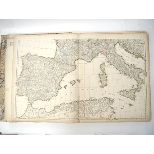
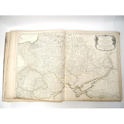
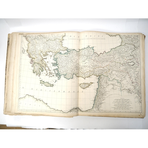
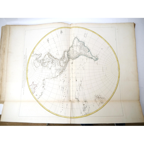
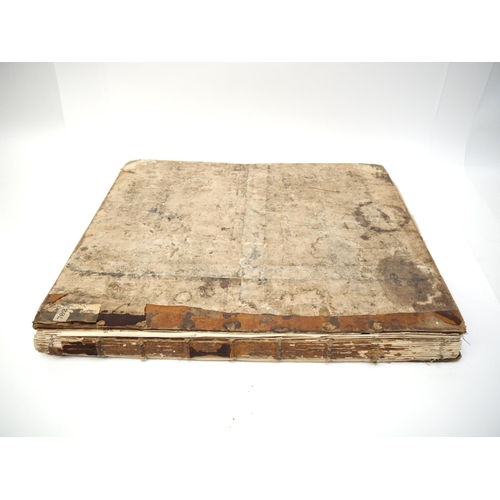
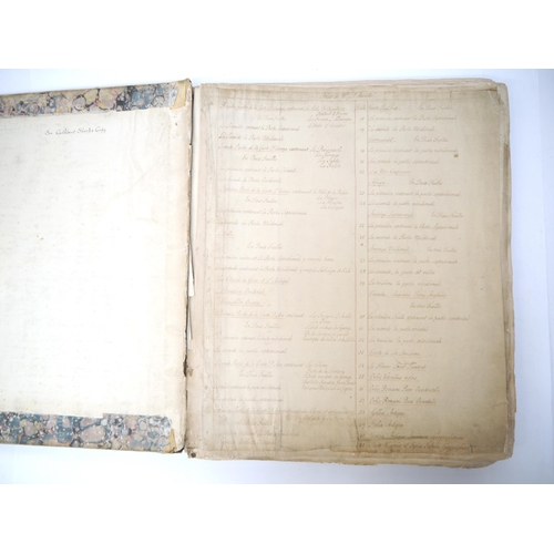
Folio (approx. 55 x 47cm). Composite atlas consisting of 26 engraved maps on 41 sheets, some of which are double or treble sized. Contemporary half sheep, binding very worn and first couple of maps detached. The first map lacks the top corner, otherwise generally in nice clean condition, some with contemporary outline colouring. Copy of Sir Cuthbert Sharp (1781–1849), English soldier, official and antiquary, with his ownership signature to inside of top board, contemporary manuscript list of maps to blank leaf at front. Maps comprise the following:
1. Europe West 1754 – 2 double sheets, loss top corner.
2. Europe North East 1758 – 2 double sheets.
3. Europe South East 1760 – 2 double sheets.
4. Italy 1743 - 2 double sheets.
5. Greece & the Archipelago 1756. Double sheet.
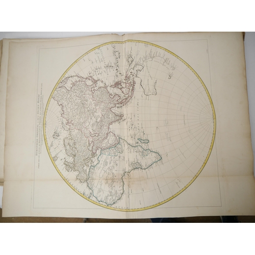
6. Western Hemisphere 1761. Double sheet.
7. Eastern Hemisphere 1761. Double sheet.
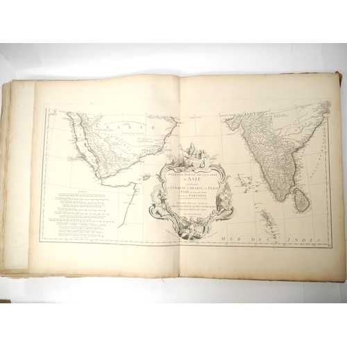
8. Asia 1st Part [Turkey, Arabia, Persia, India] 1751 – 2 double sheets.
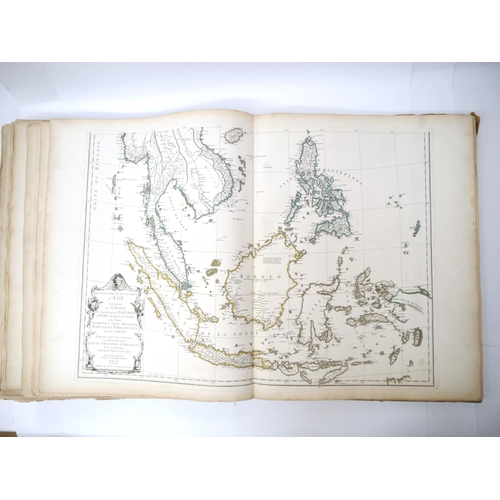
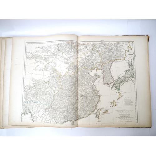
9. Asia 2nd Part [China, Tartary, Sumatra, Java, Borneo, Philippines, Japan, etc.] 1752 – 2 double sheets.
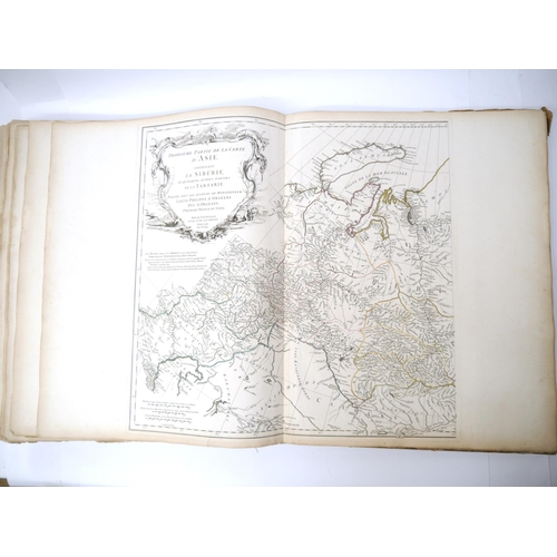
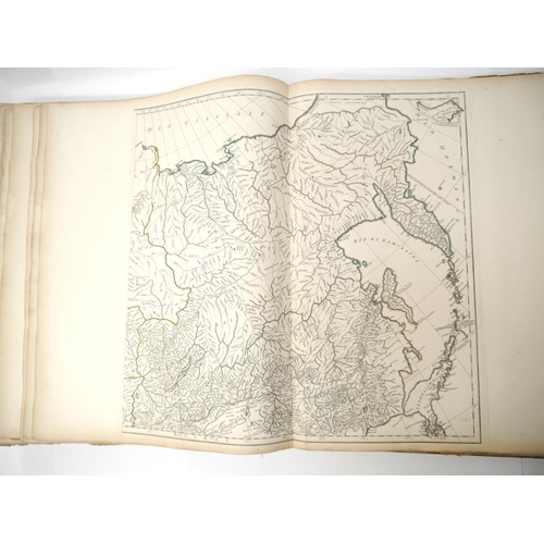
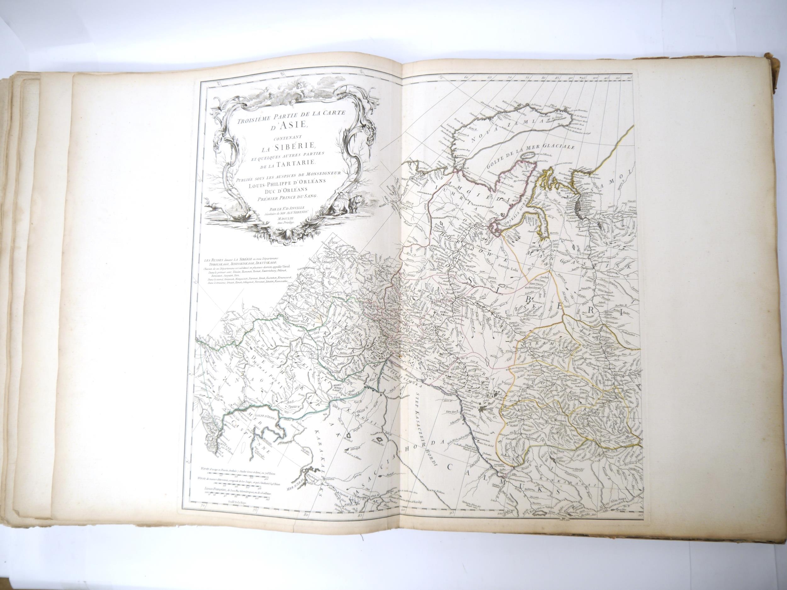
10. Asia 3rd Part [Siberia, Tartary] 1753 – 2 double sheets.
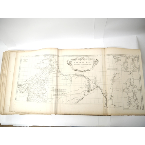
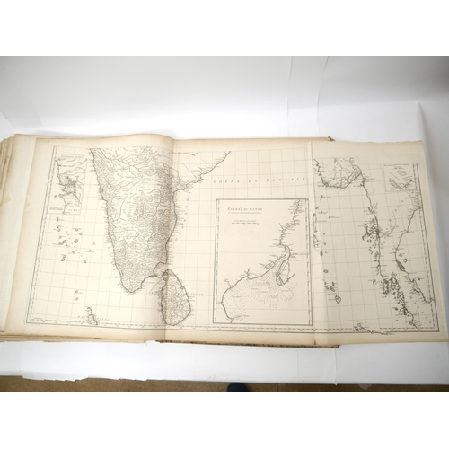
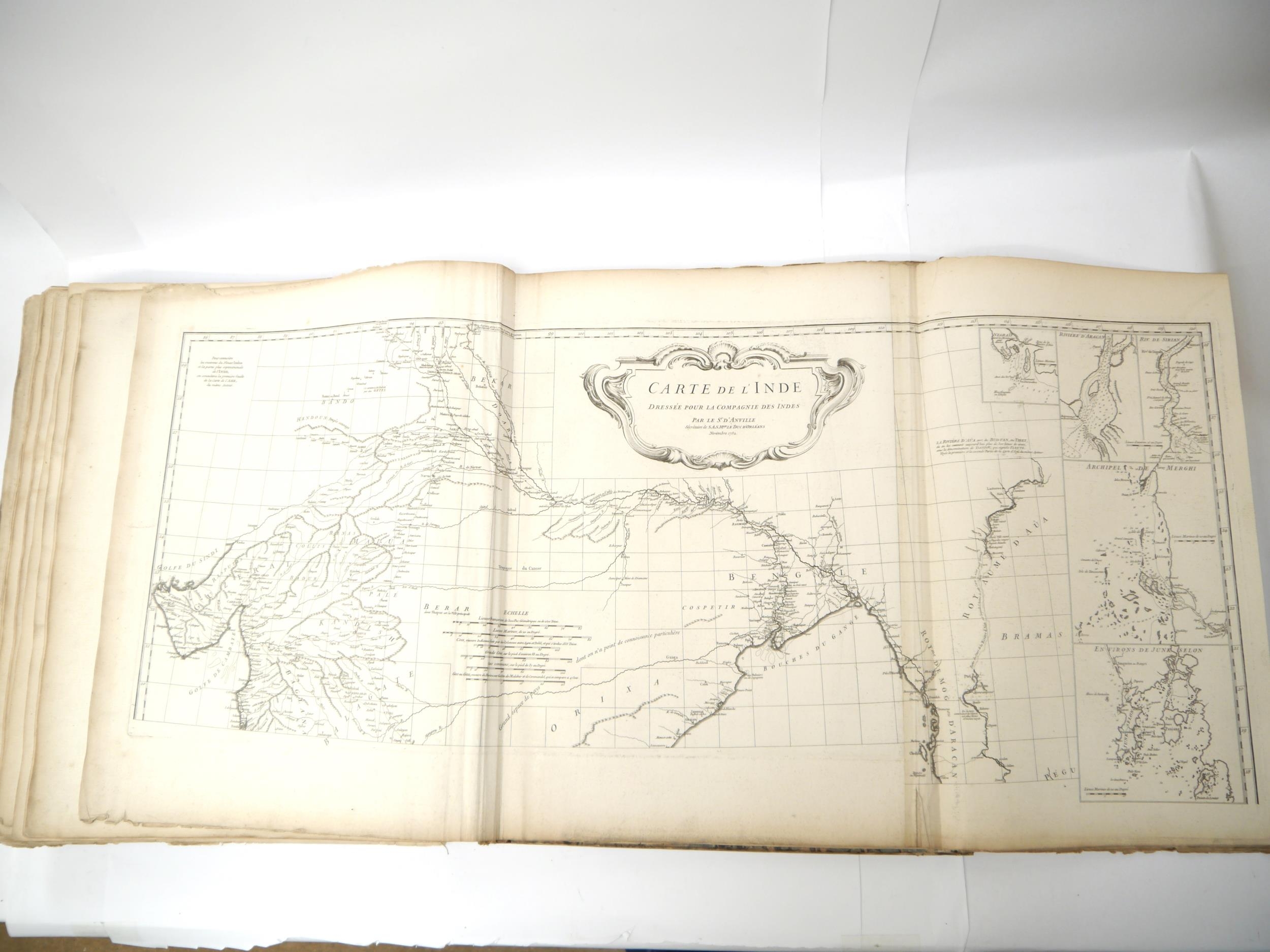
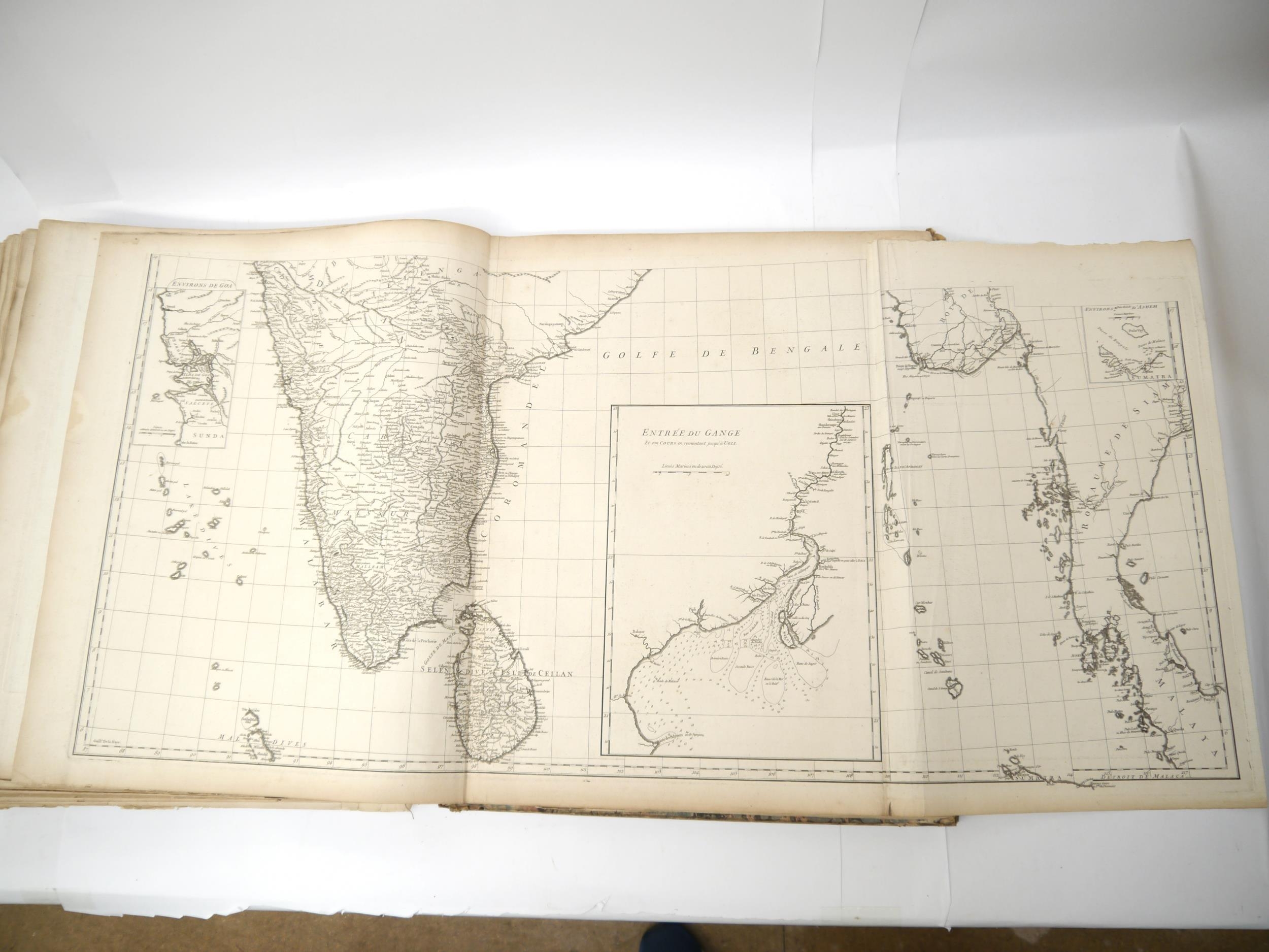
11. India 1752 – 2 treble sheets.
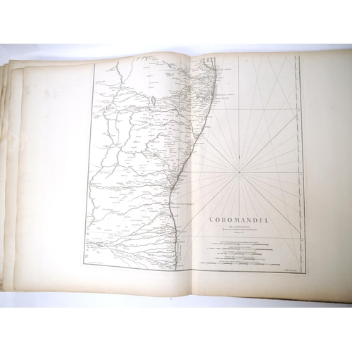
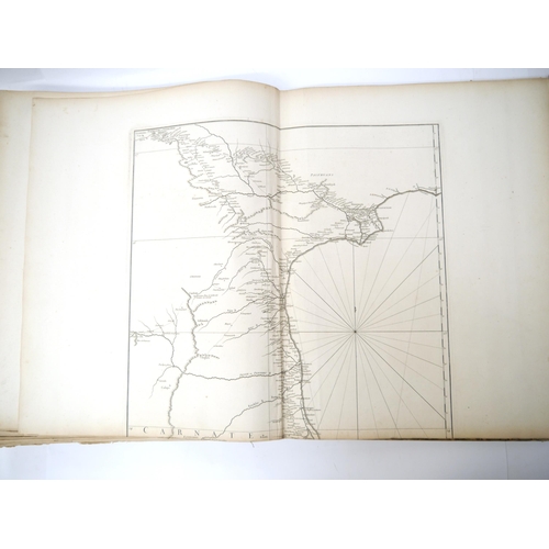
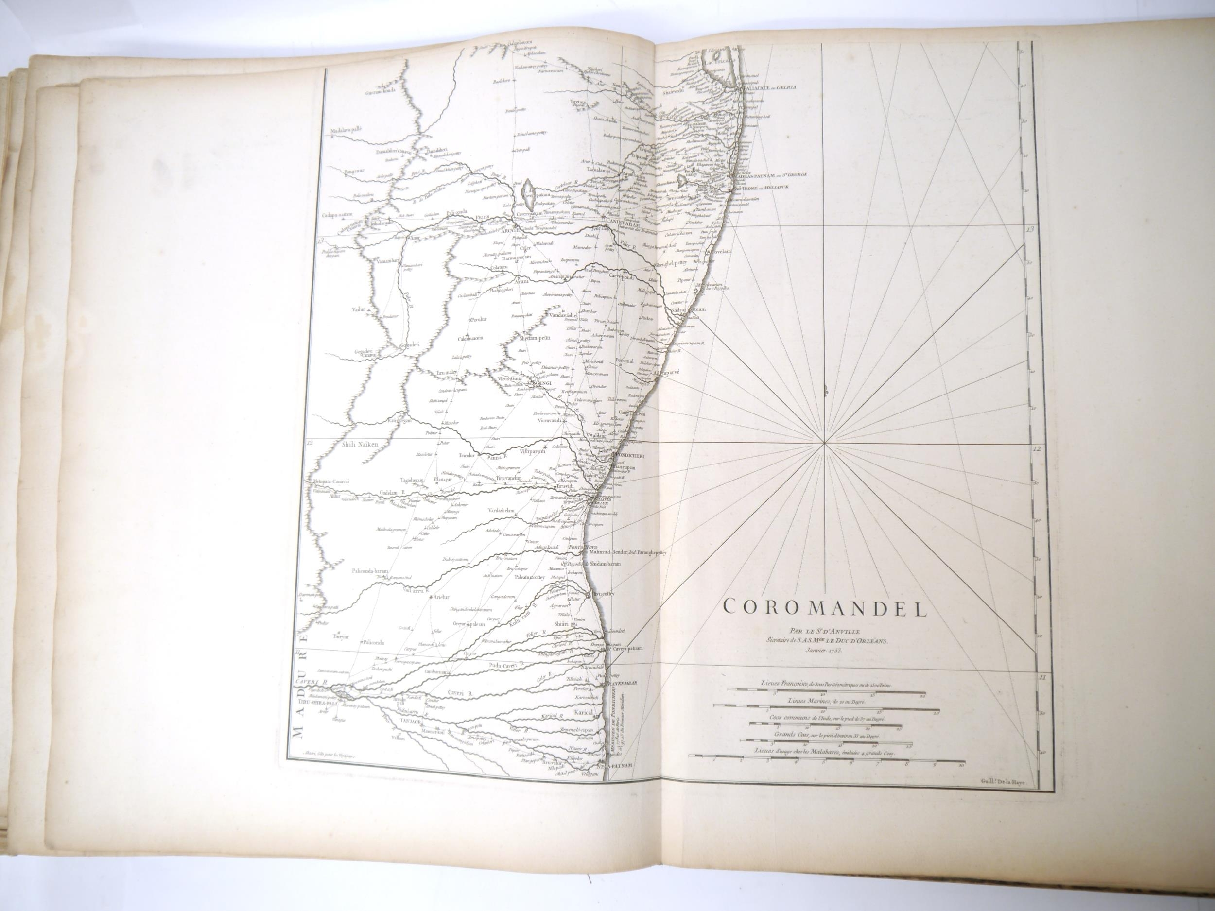
12. Coromandel Coast 1753 – 2 double sheets.
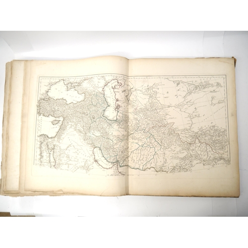
13. Caspian Sea 1754. Single sheet.
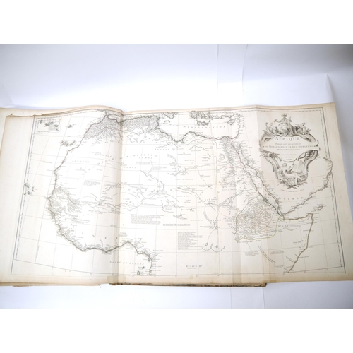
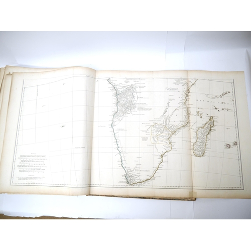
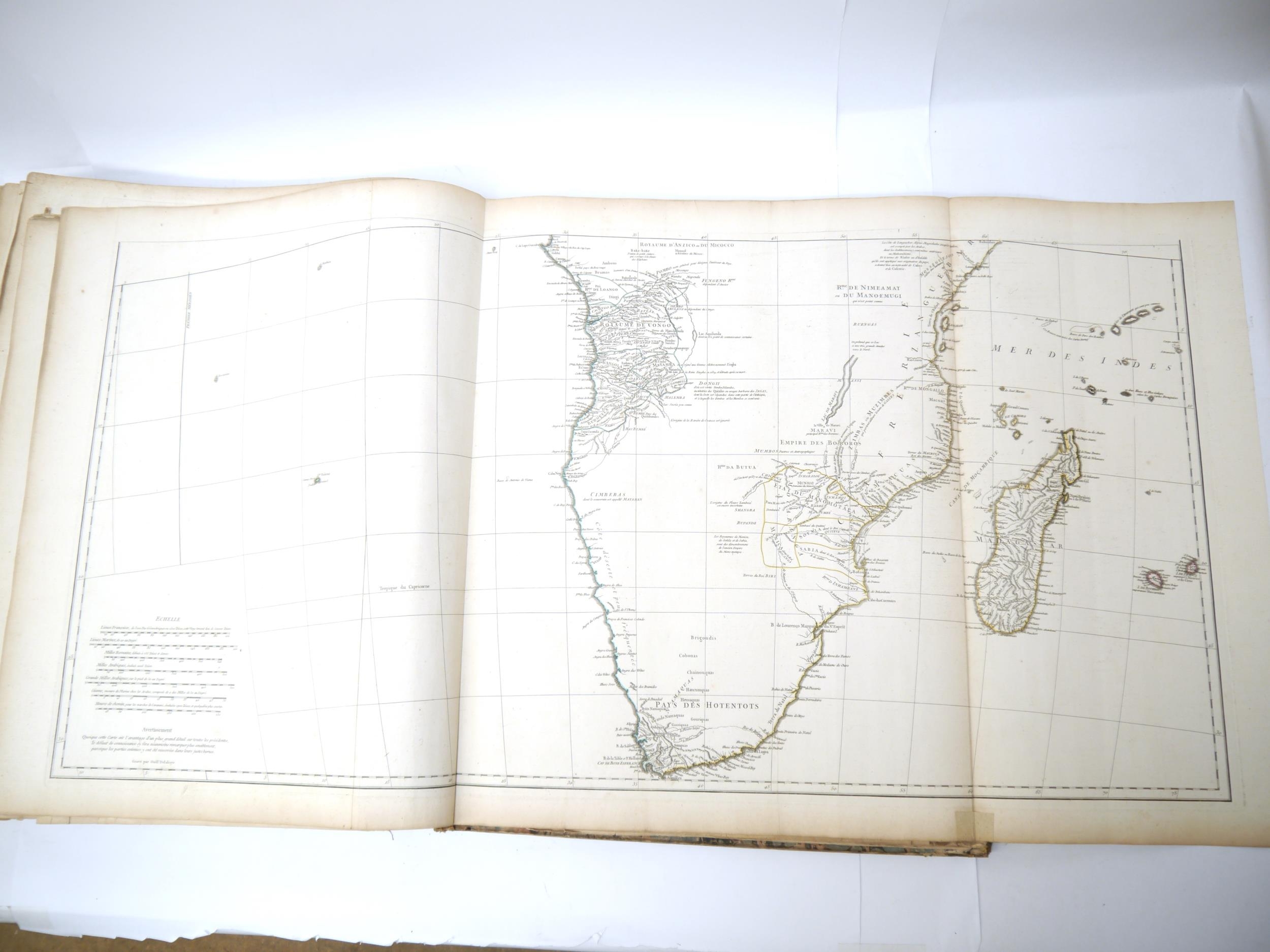
14. Africa 1749 – 2 treble sheets.
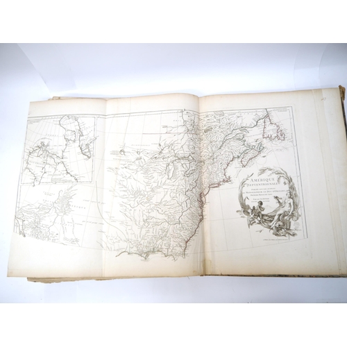
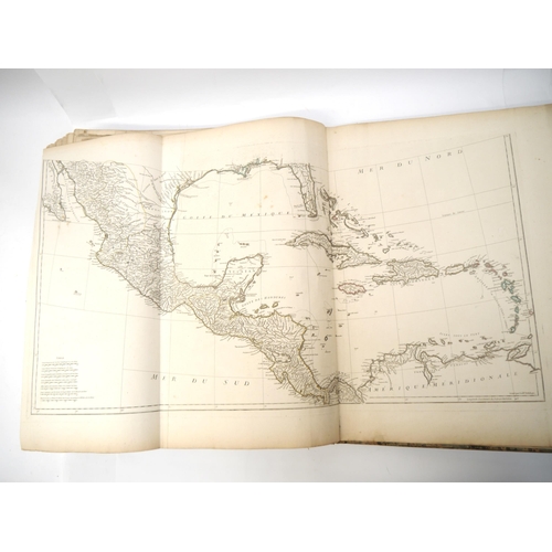
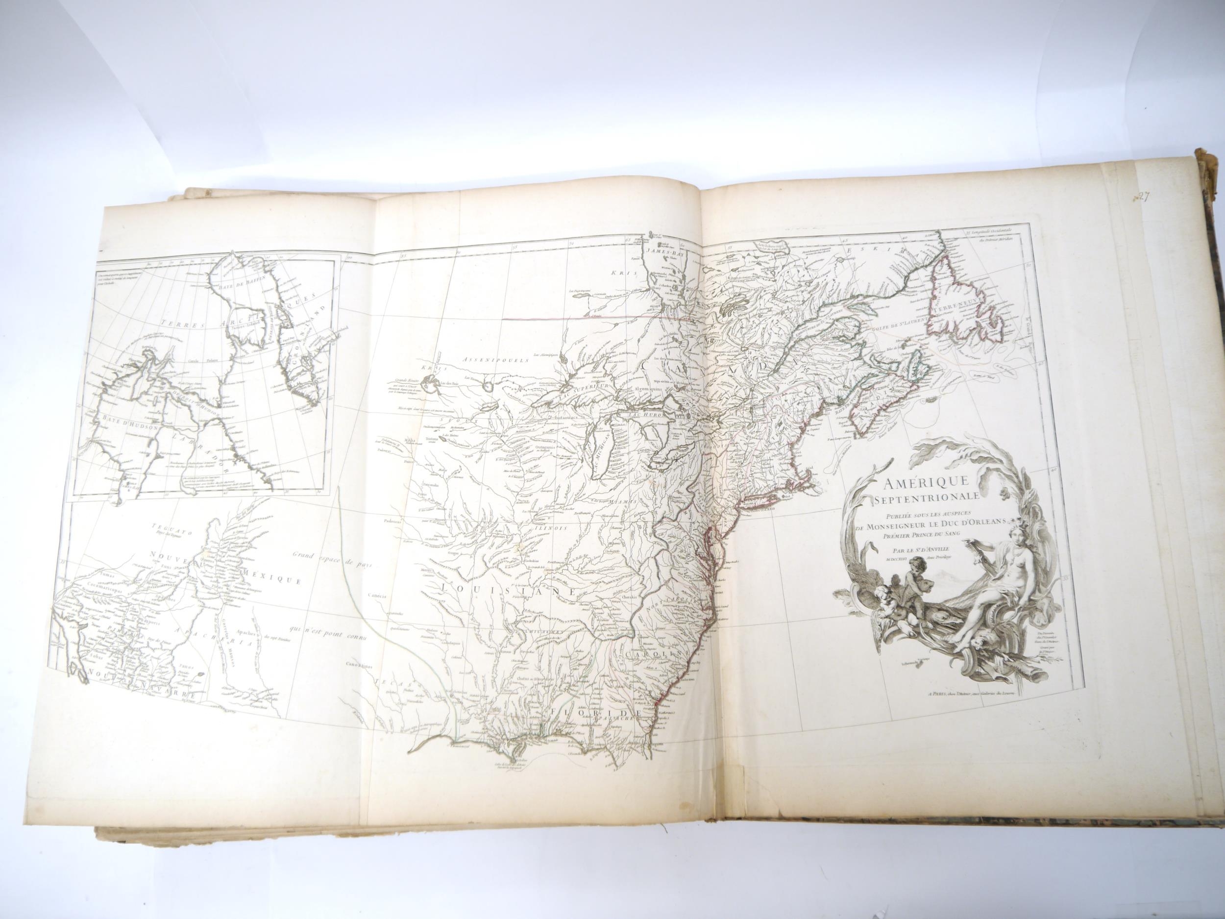
15. North America 1746 – 2 treble sheets.
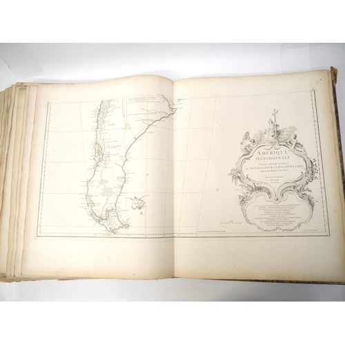
16. South America 1748 – 3 double sheets.
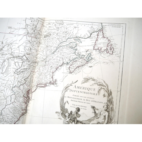
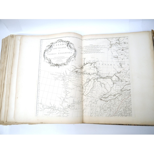
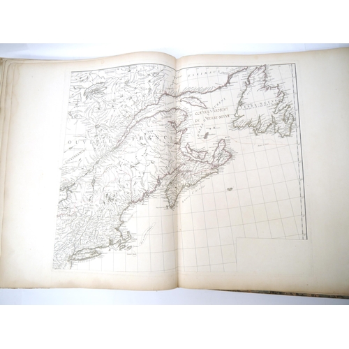
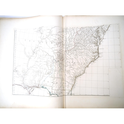
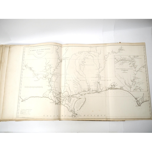
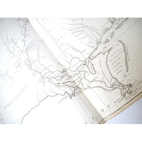
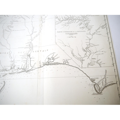
17. Canada, Louisiana & British Territories 1755 – 3 double sheets.
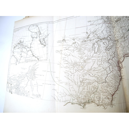
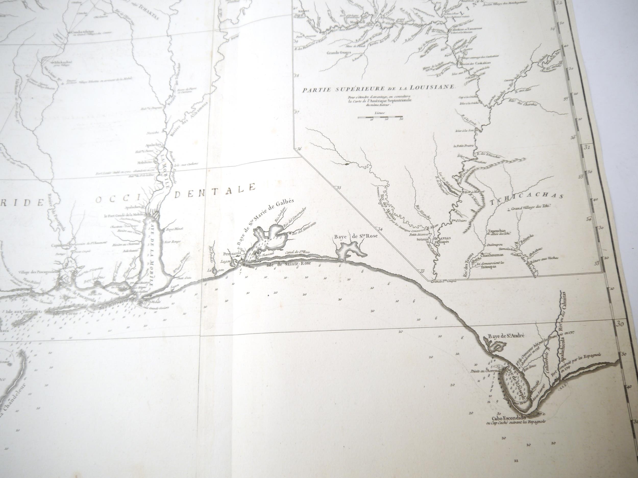
18. Louisiana 1752 – treble sheet.
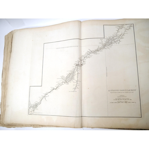
19. St Laurence River nd – double sheet.
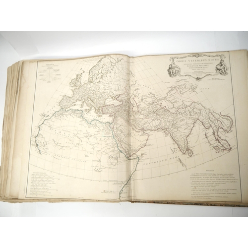
20. Ancient World 1763 – double sheet.
21. Roman World Eastern Part 1763 – double sheet.
22. Roman World Western Part 1764 – double sheet.
23. Ancient Gaul 1760 – double sheet.
24. Ancient Italy 1764 – double sheet.
25. Ancient Greece 1762 – double sheet.
26. Asia Minor and Syria – 1764 – double sheet.
D’Anville [1697 - 1782] was one of the primary 18th Century mapmakers who greatly improved the standards of map making; his historical method was shown in his 1743 map of Italy [here present], which first indicated numerous errors in the mapping of that country. His maps were revised and re-issued numerous times during the century, but these examples seem to be mostly, if not all, the earliest states.
His map of Louisiana [here present] is considered the earliest detailed accurate representation of the territory. (C)

