TW Gaze
The complete service
Lot
7324
Lot 7324
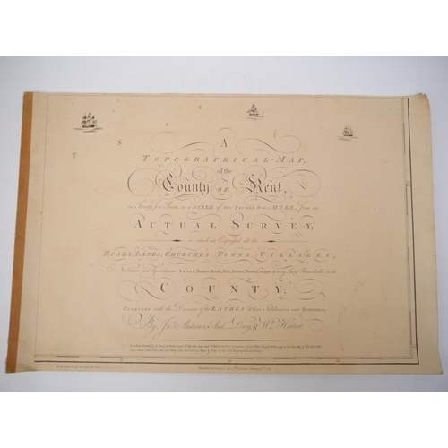
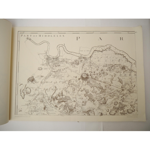
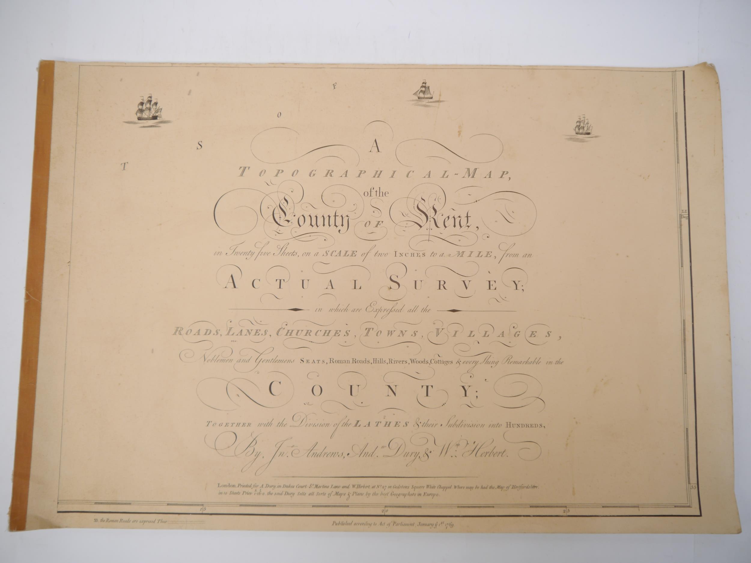
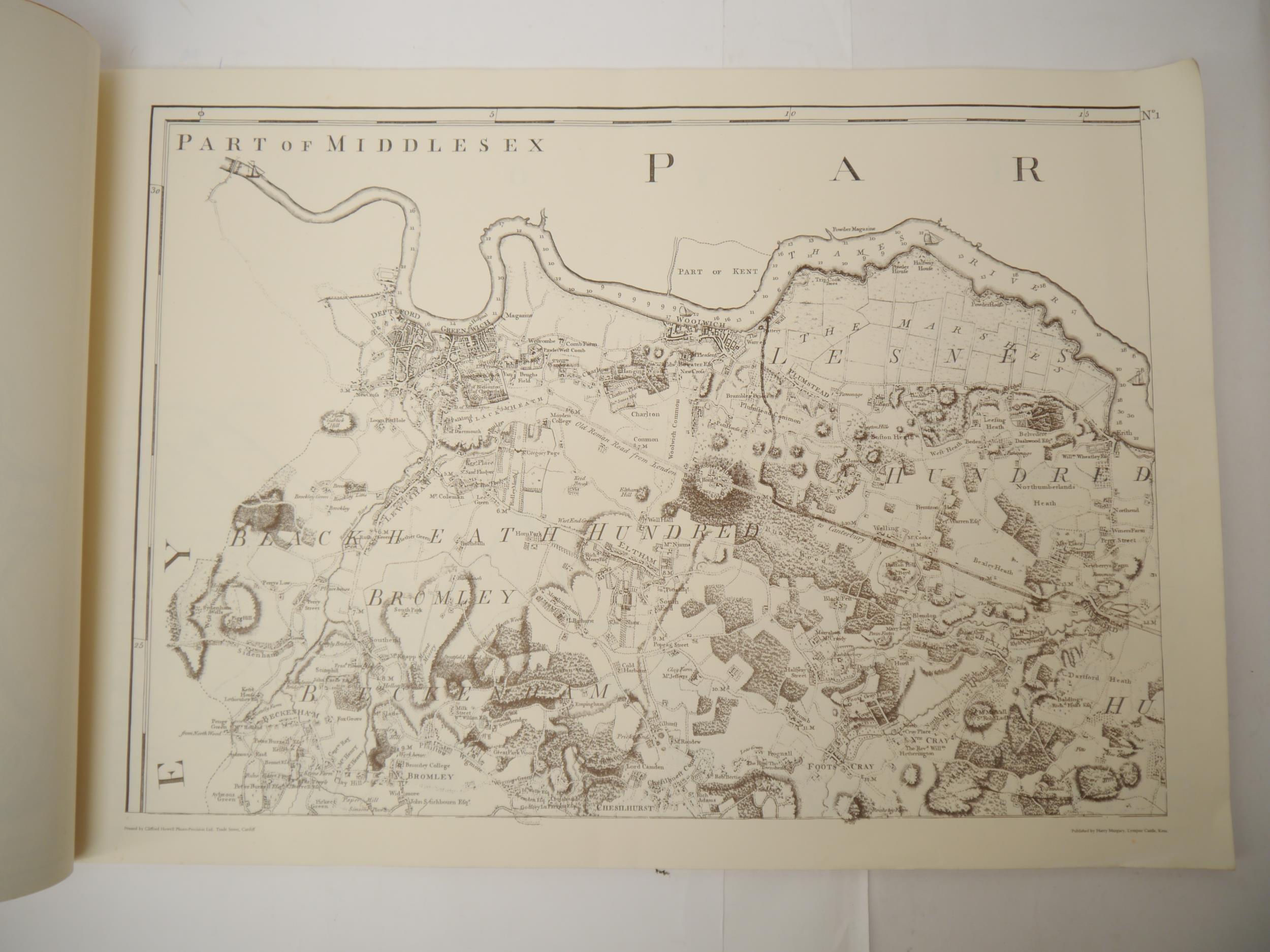
(Kent, Maps.) 'A topographical-map of the county of Kent, in...
1/2
Hammer
£15
(Kent, Maps.) 'A topographical-map of the county of Kent, in Twenty Five Sheets, on a Scale of two inches to a mile, From an actual survey, in which are expressed all the roads, lanes, churches, towns, villages, noblemen and gentlemens seats, Roman roads ... in the county, together with the divisions of the lathes & their subdivision into hundreds', Lympne Castle, Harry Margary, 1968, facsimile of the original edition published 1769, 1 map on 25 sheets including title page and list of subscribers as called for, oblong large folio (51 x 76cm), original cloth backed printed wraps
Closed
Auction Date:
27th Feb 2024
at
10am
Other Lots in this Auction
Sale Dates:
27th Feb 2024 10am
(Lots 7001 to 7343)