TW Gaze
The complete service
Lot
7325
Lot 7325
(Atlas.) John Bartholomew: 'The Imperial Map of England & Wa...
1/3
Hammer
£100
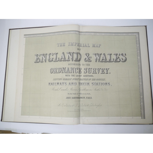
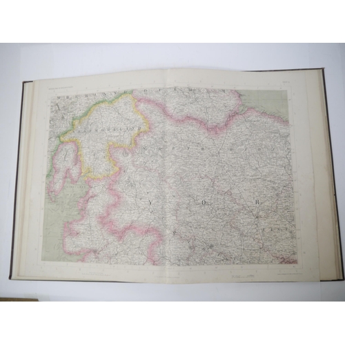
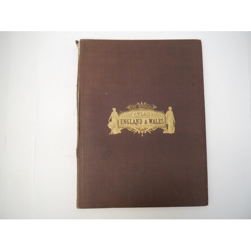
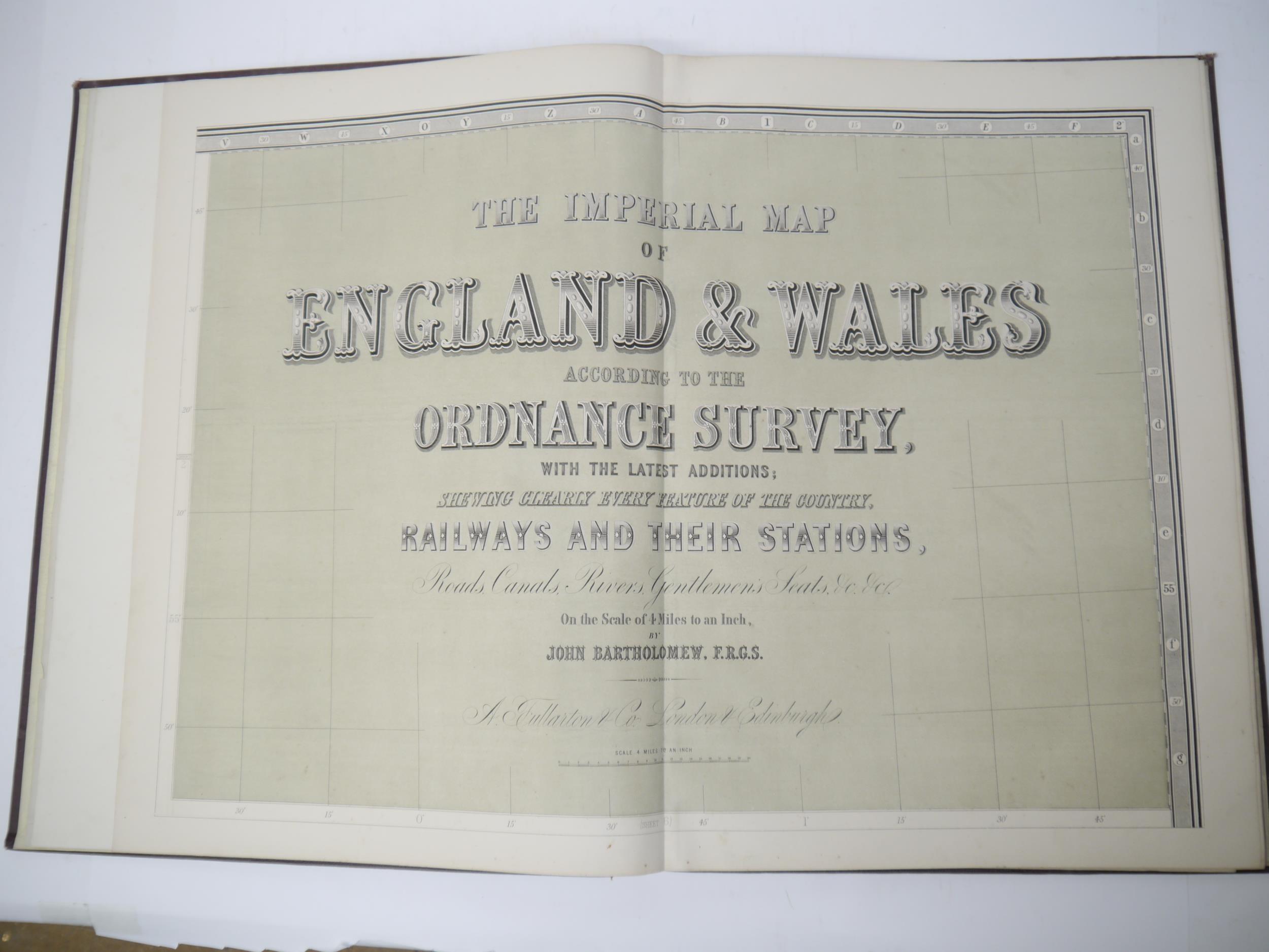
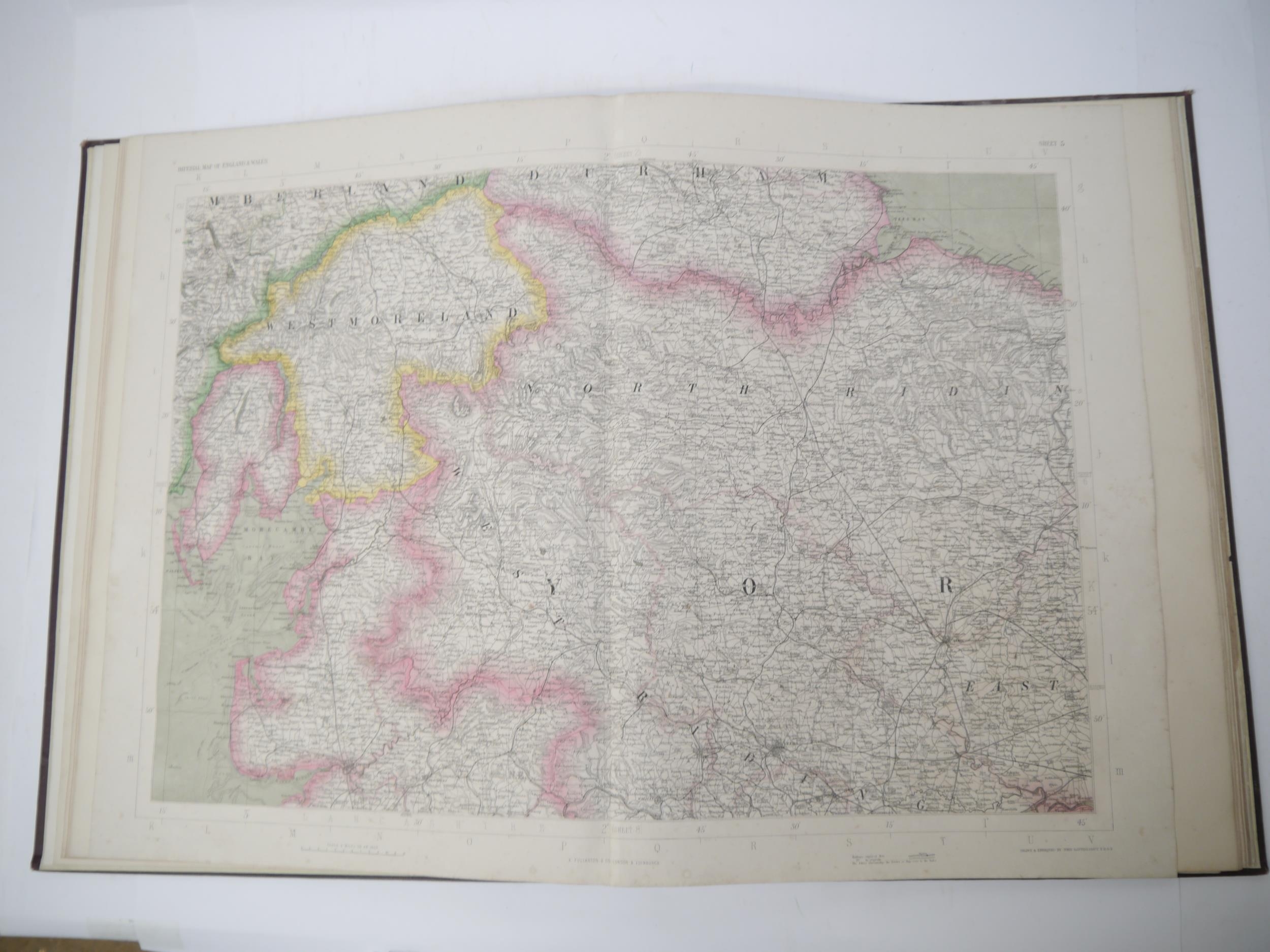
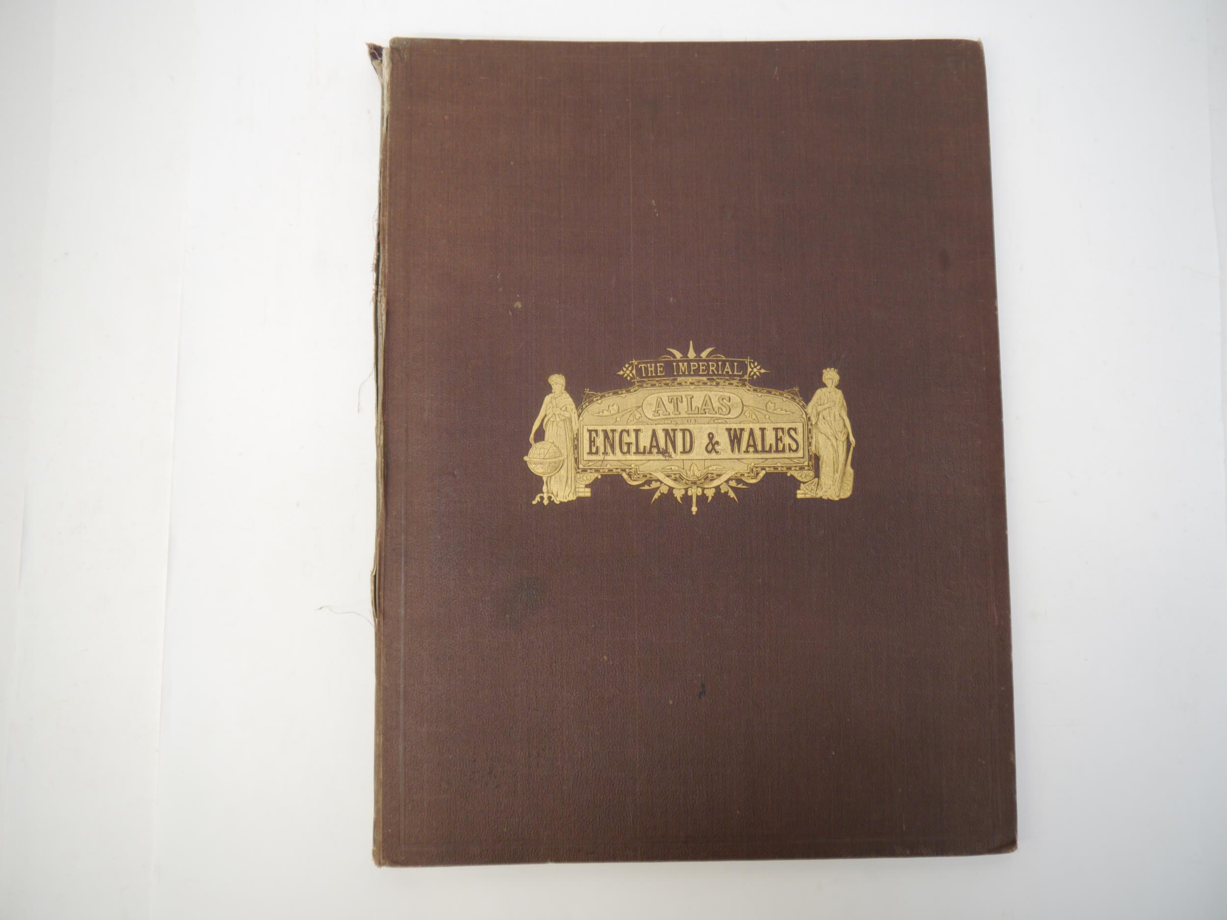
(Atlas.) John Bartholomew: 'The Imperial Map of England & Wales According to the Ordnance Survey, with the Latest Additions; Shewing clearly every Feature of the Country, Railways and their Stations, Roads, Canals, Rivers, Gentlemen's Seats &c. &c., On a Scale of 4 Miles to an Inch', London & Edinburgh, A. Fullarton & Co., c.1872, double page lithograph title + 17 sheets comprising 14 large double page colour maps (sheets 2-15) and final map (sheet 16) divided into 3 separate half height double page colour maps (16A, B & C respectively), 4pp index at front, large slim folio (approx. 56 x 42cm) original cloth gilt
Closed
Auction Date:
27th Feb 2024
at
10am
Other Lots in this Auction
Sale Dates:
27th Feb 2024 10am
(Lots 7001 to 7343)