Lot
9023
Lot 9023
(Jamaica), 'A Map of the Island of Jamaica. Divided into Cou...

Estimate
£50 - £80
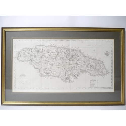
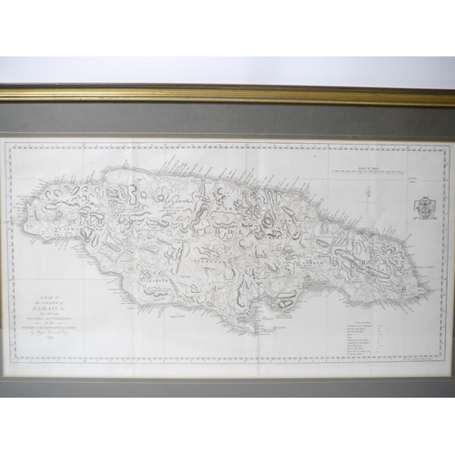
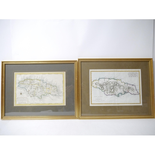
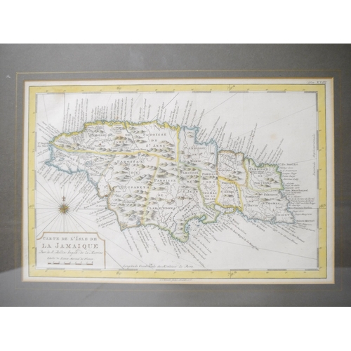
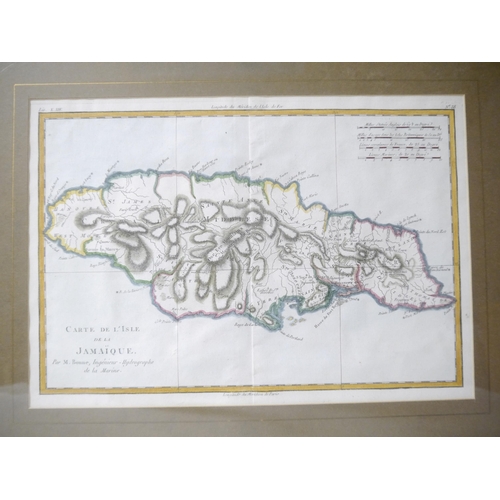
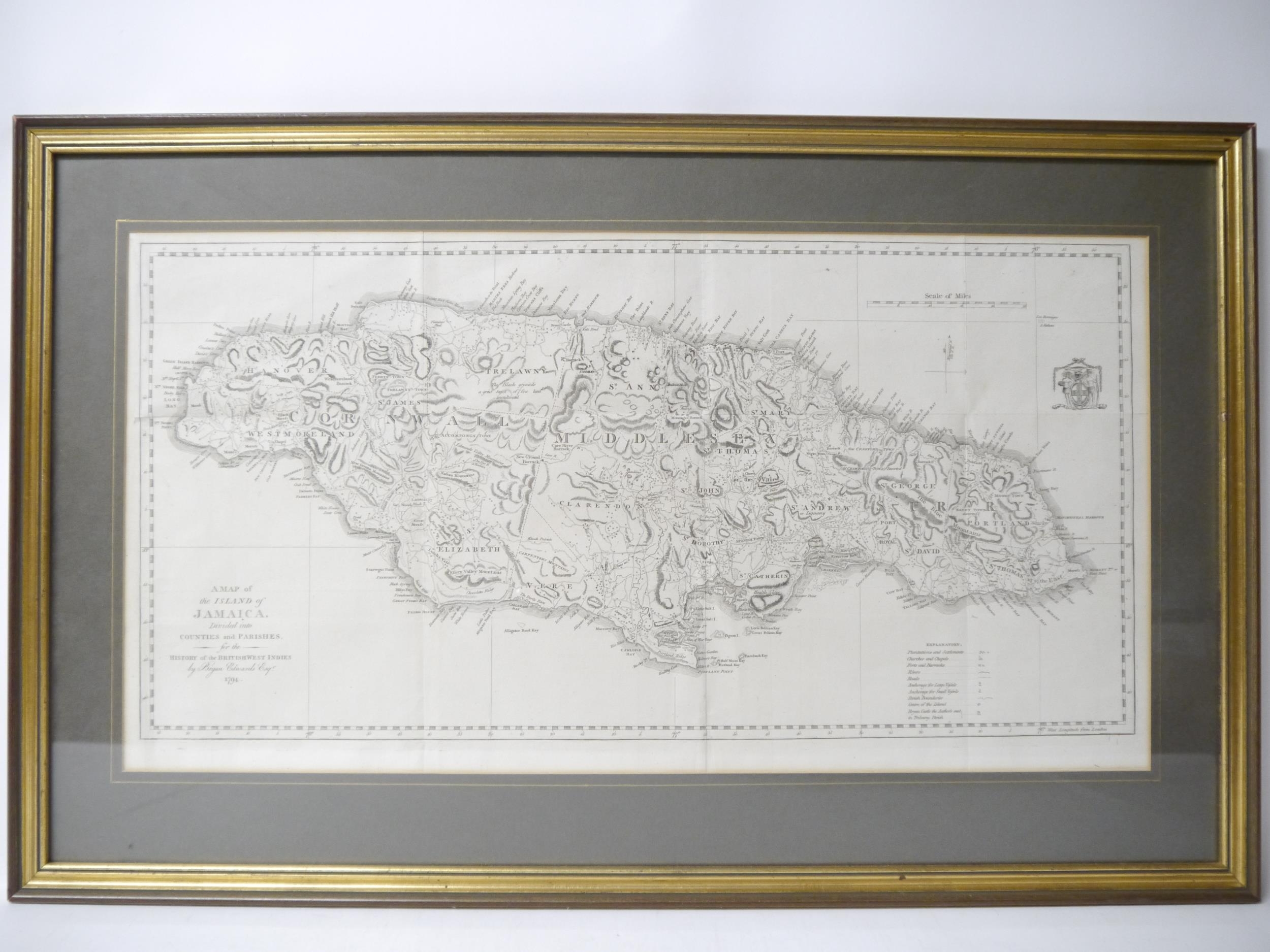
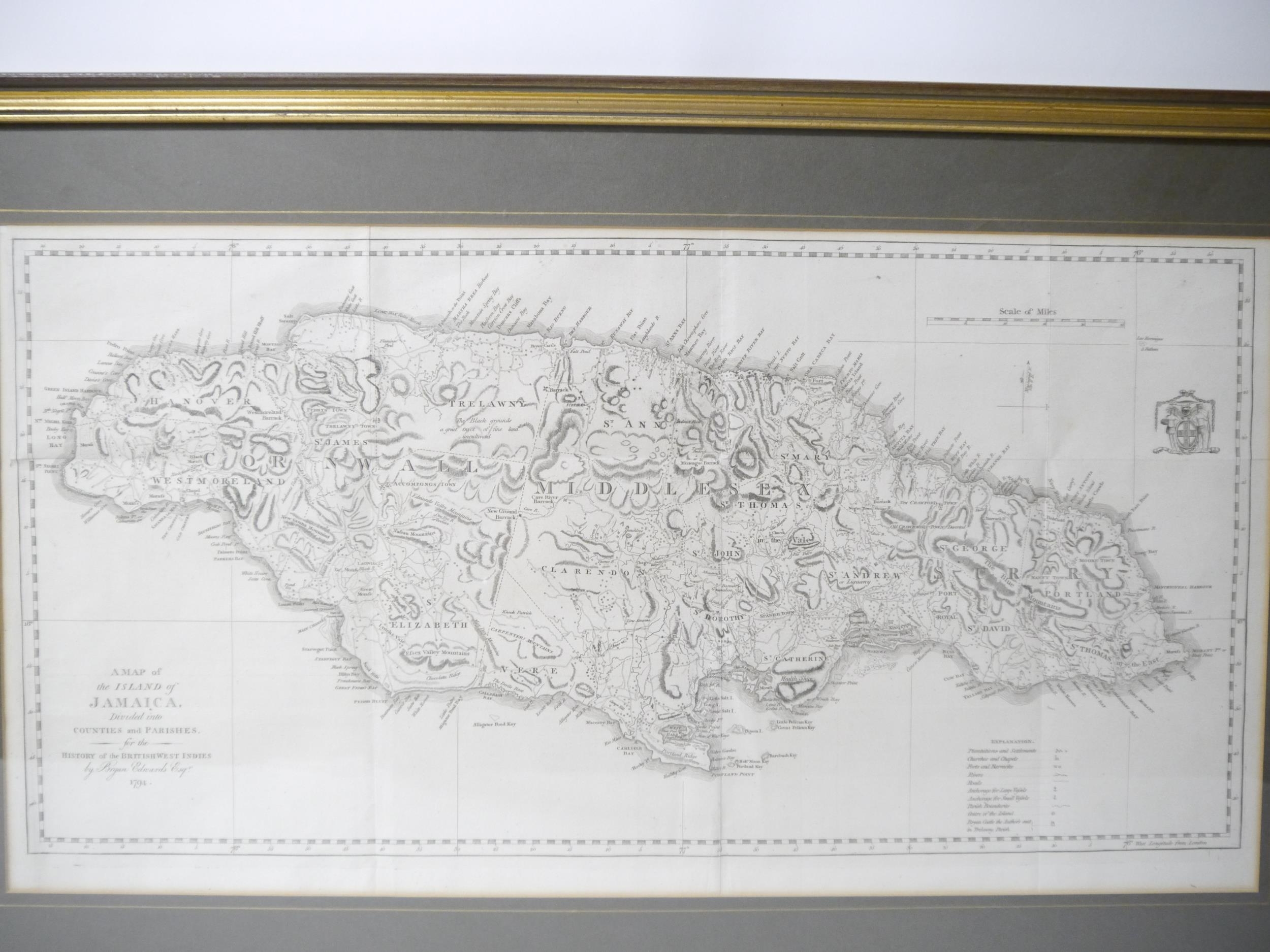
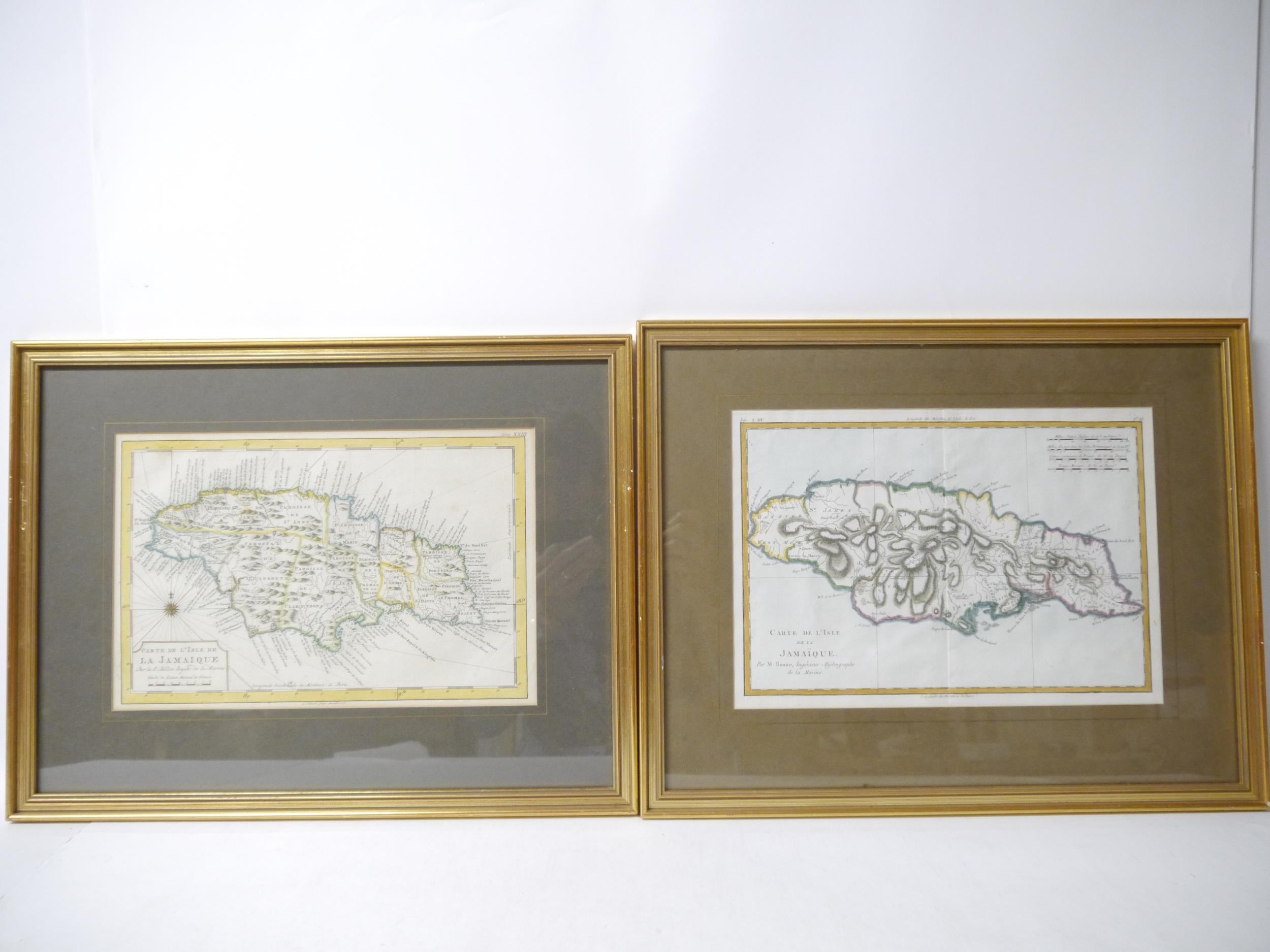
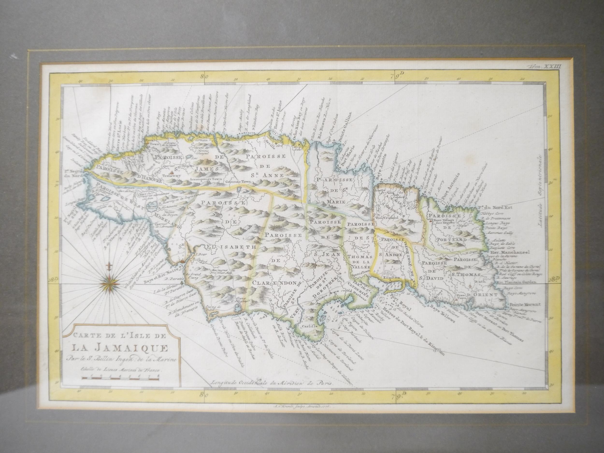
(Jamaica), 'A Map of the Island of Jamaica. Divided into Counties and Parishes, for the History of the British West Indies by Bryan Edwards Esqr. 1794.', engraved map, 1794, plate impression approx. 32 x 63cm, framed and glazed, whole approx. 49 x 77cm; together with two other maps/charts of Jamaica, 'Carte de L'Isle de la Jamaique Par le S. Bellin Ingen: de la Marine', Amsterdam, A. Krevelt, 1776, hand coloured, printed area approx. 21 x 32cm, f + g, whole approx. 37 x 48cm, and 'Carte de L'Isle de la Jamaique. Par M. Bonne, Ingenieur - Hydrographe de la Marine', [nd], circa late 18th/early 19th Century, hand coloured, approx. 22 x 32cm, f + g, whole approx. 38 x 48cm (3) (E) £30-40

