Lot
7322
Lot 7322
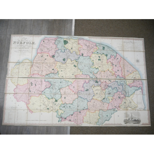
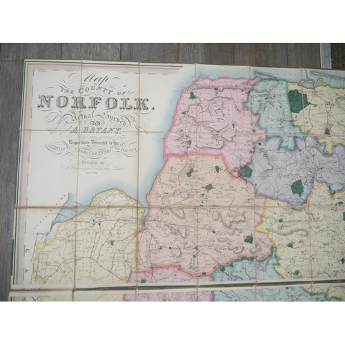
(Map.) Andrew Bryant: 'Map of the County of Norfolk from Act...
Hammer
£600
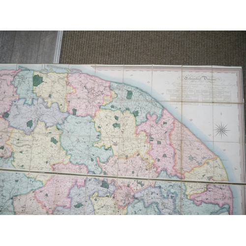
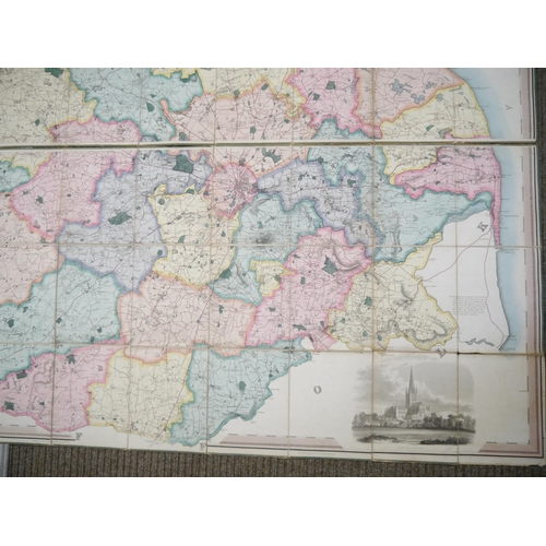
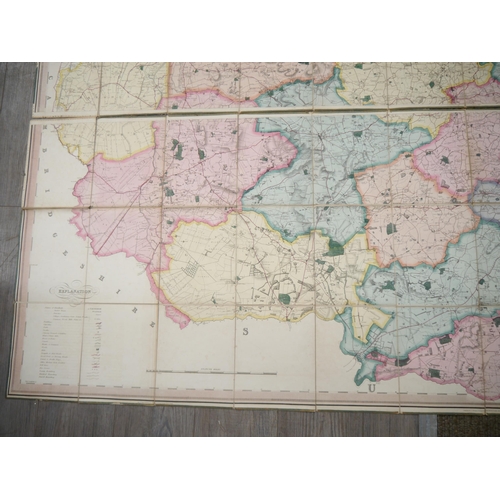
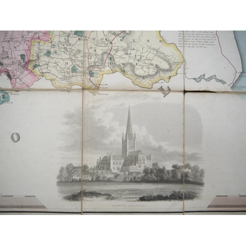
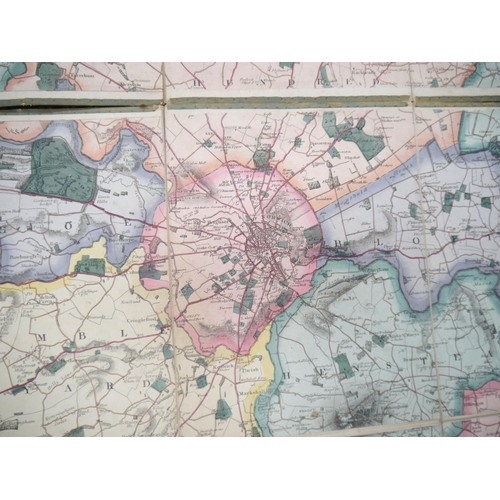
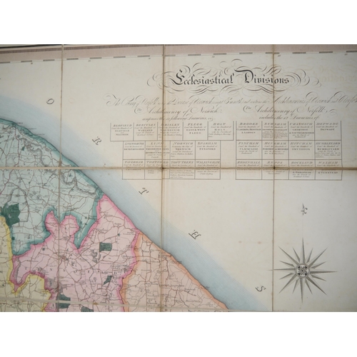
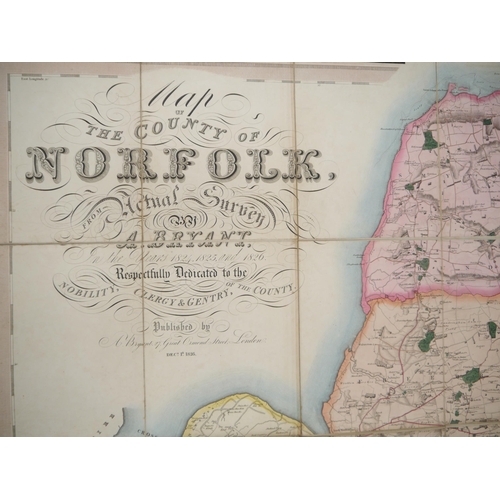
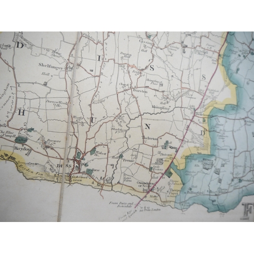
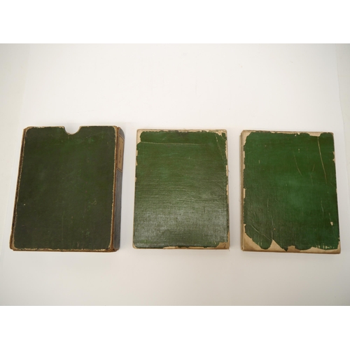
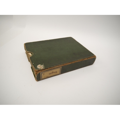
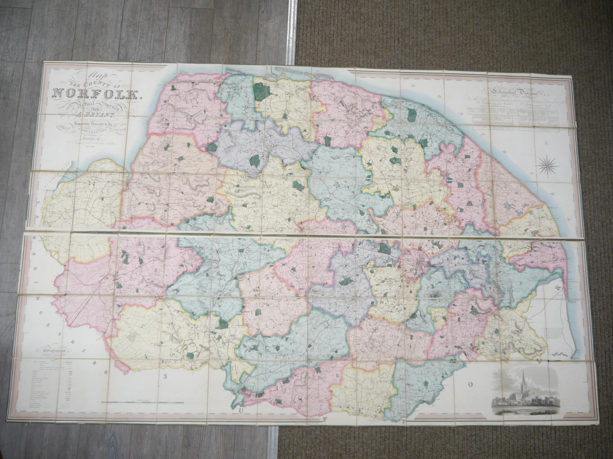
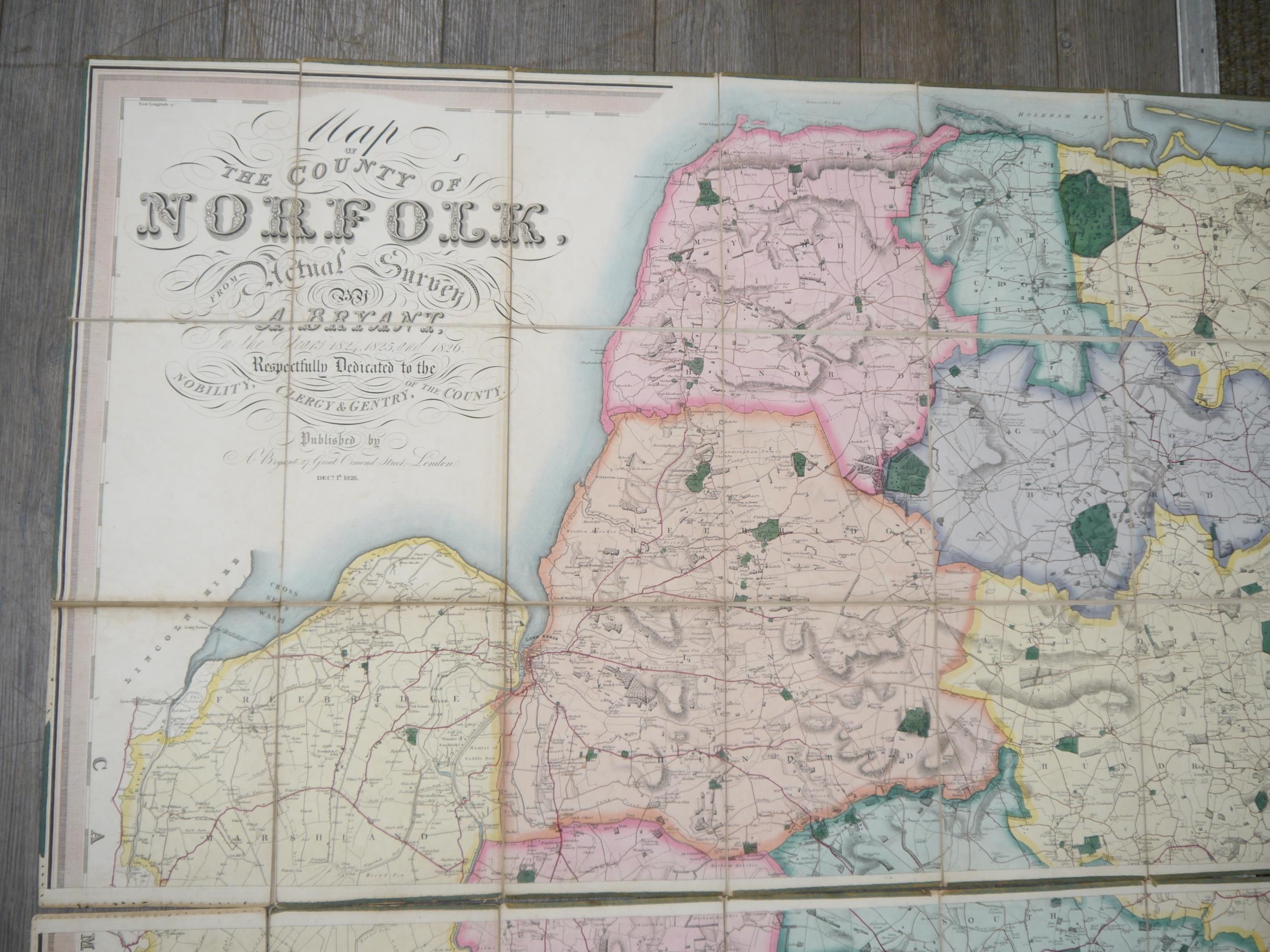
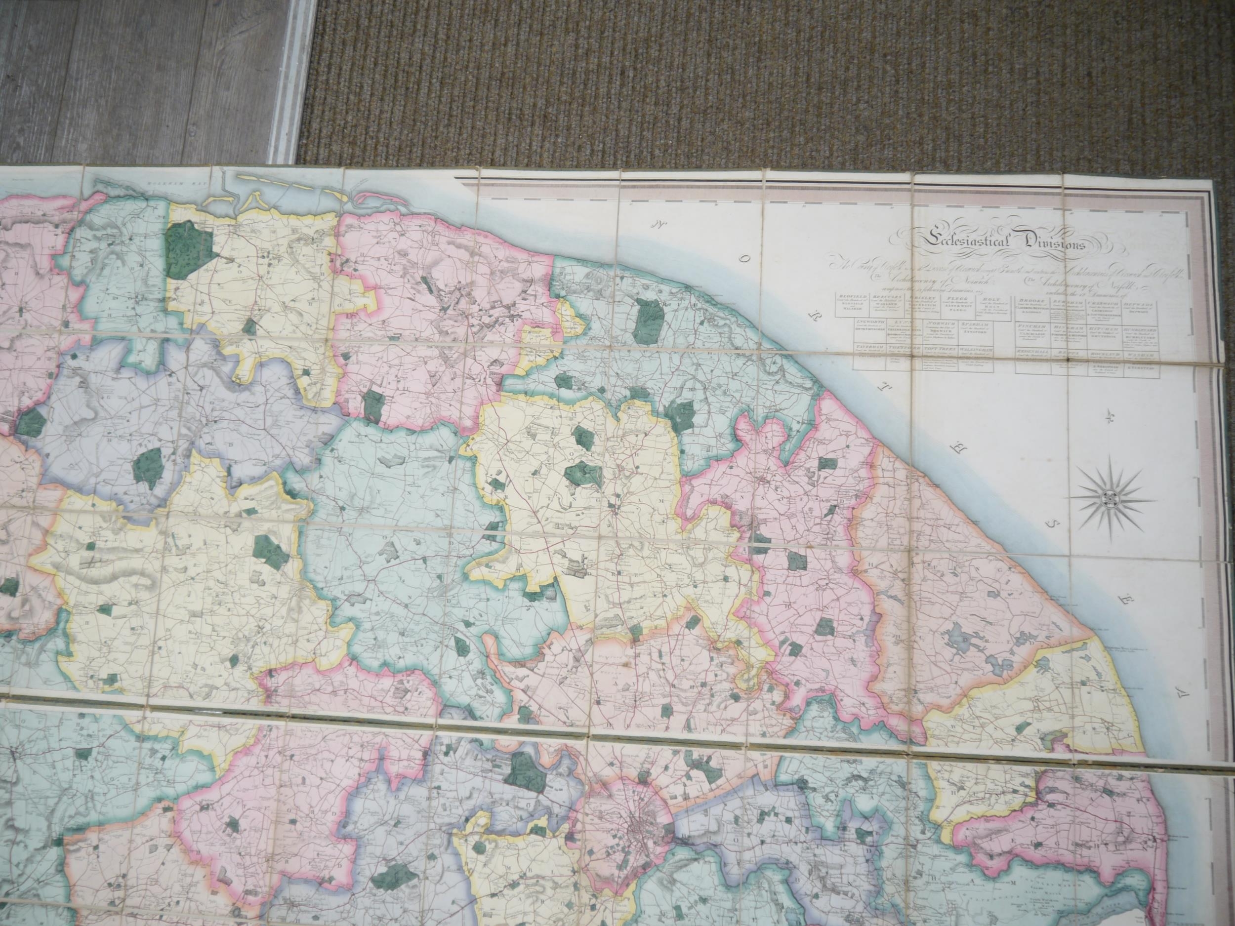
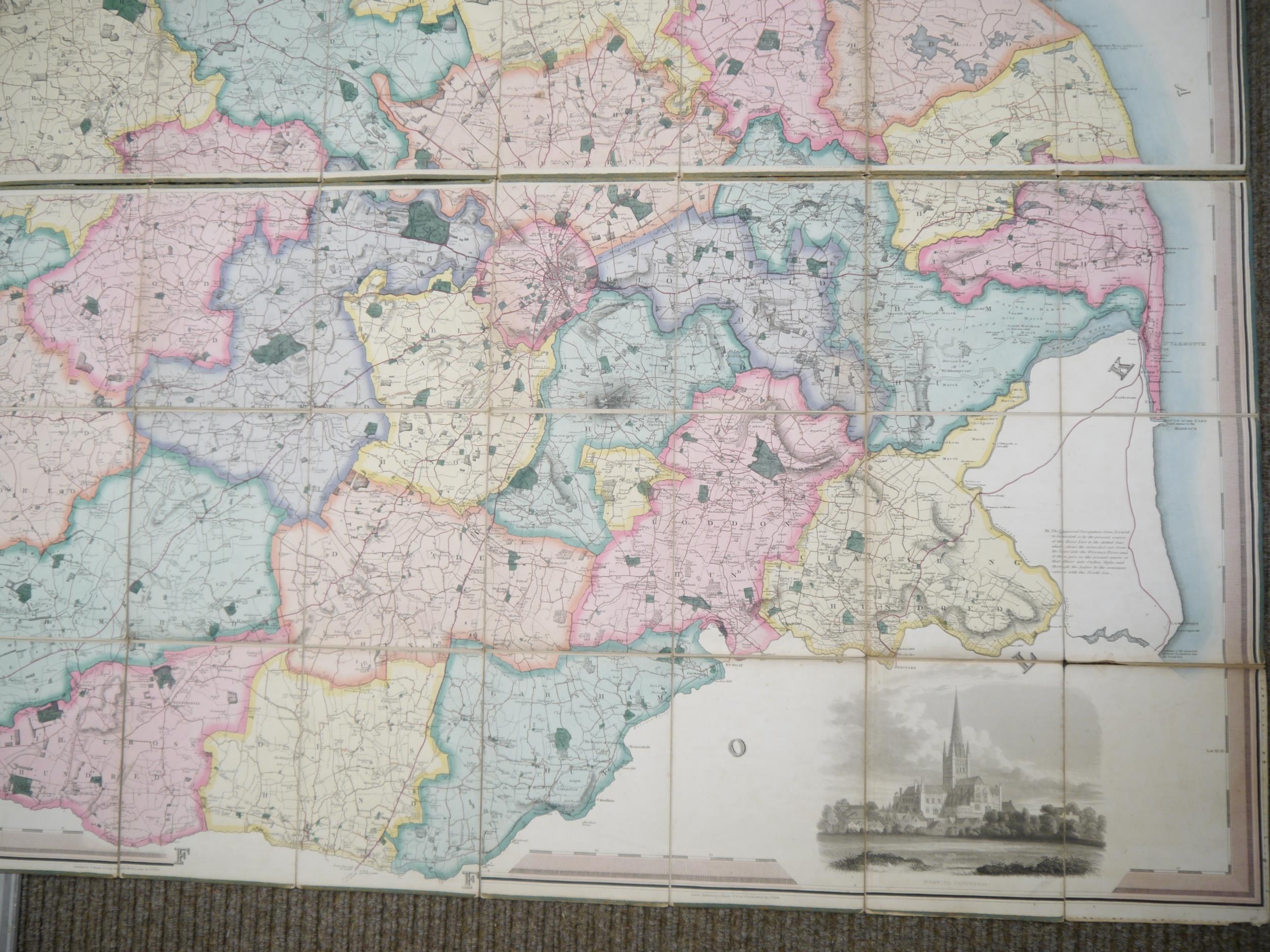
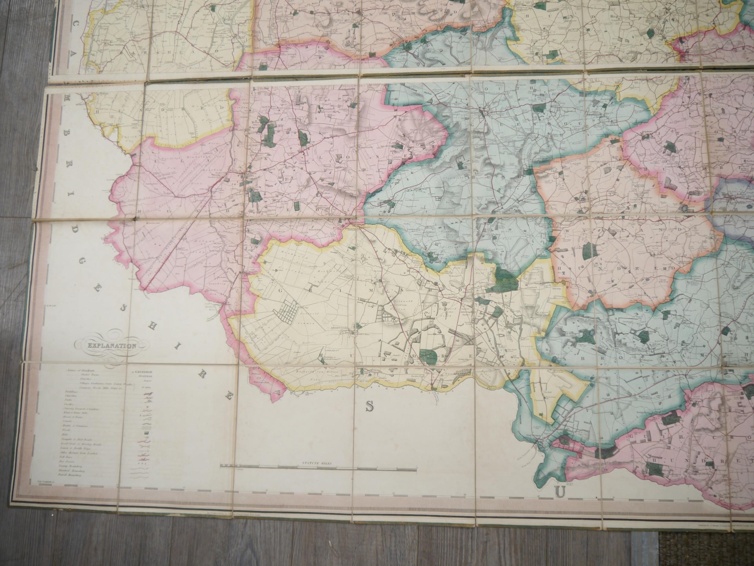
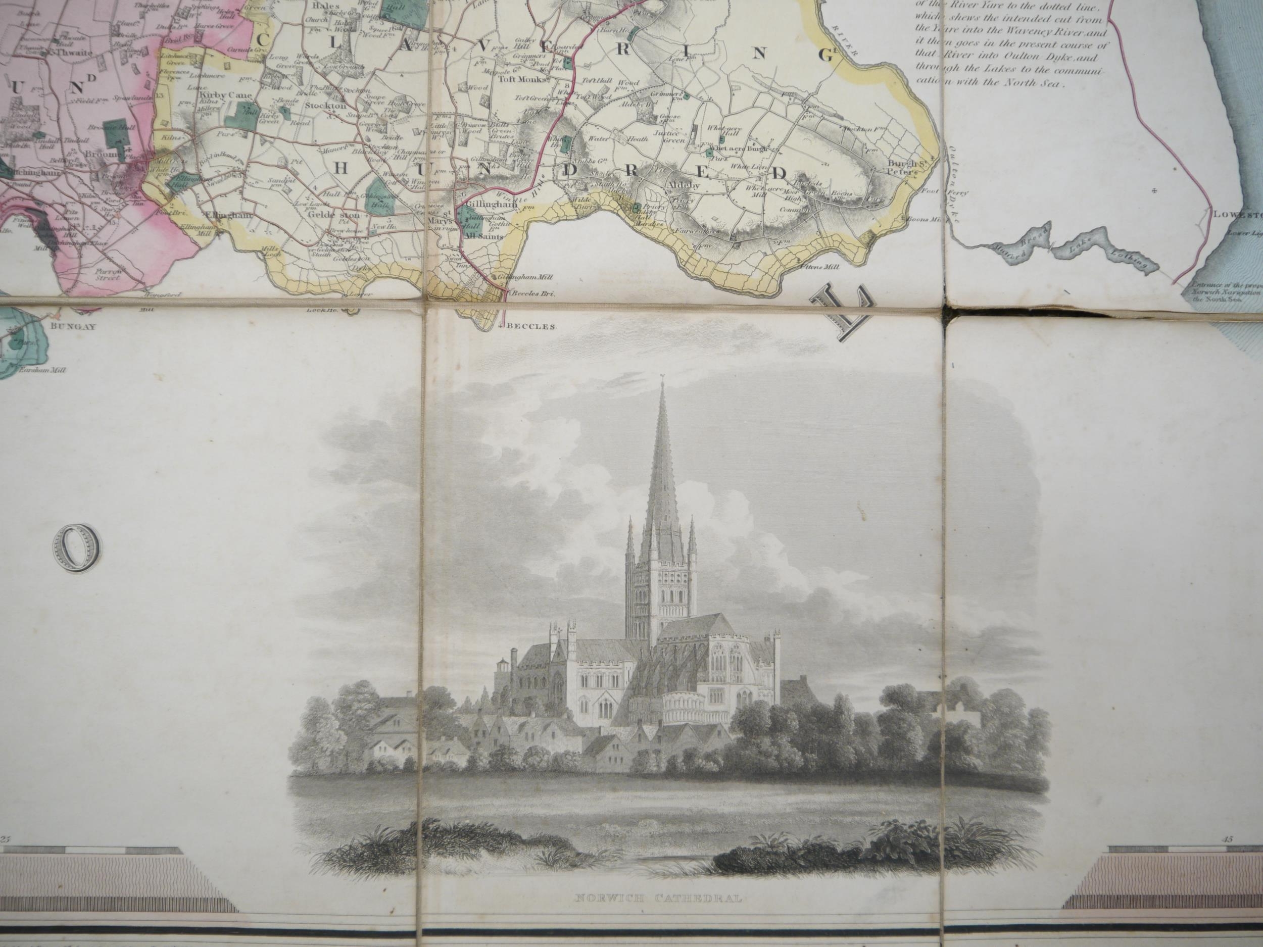
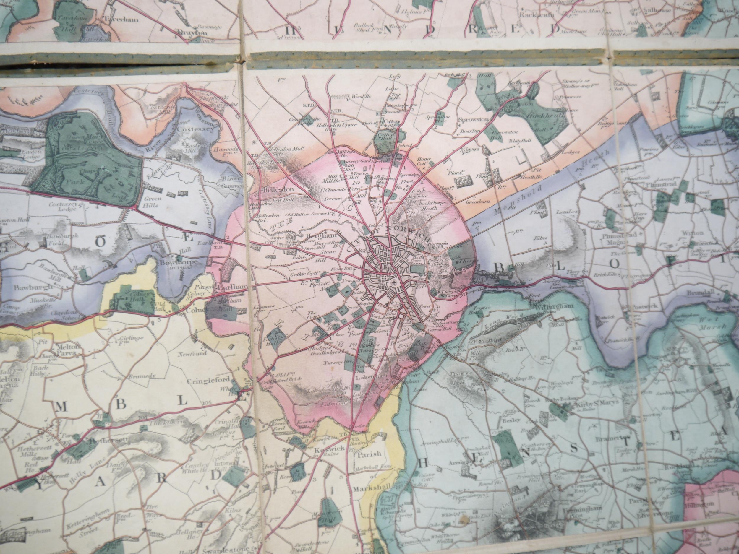
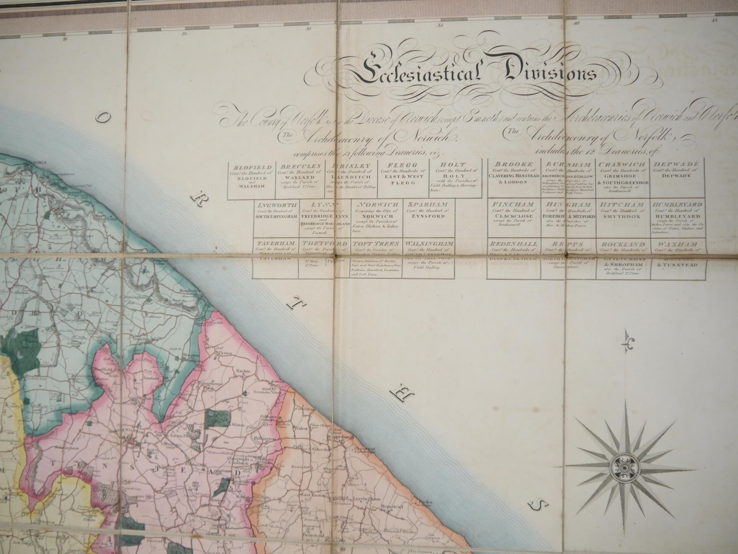
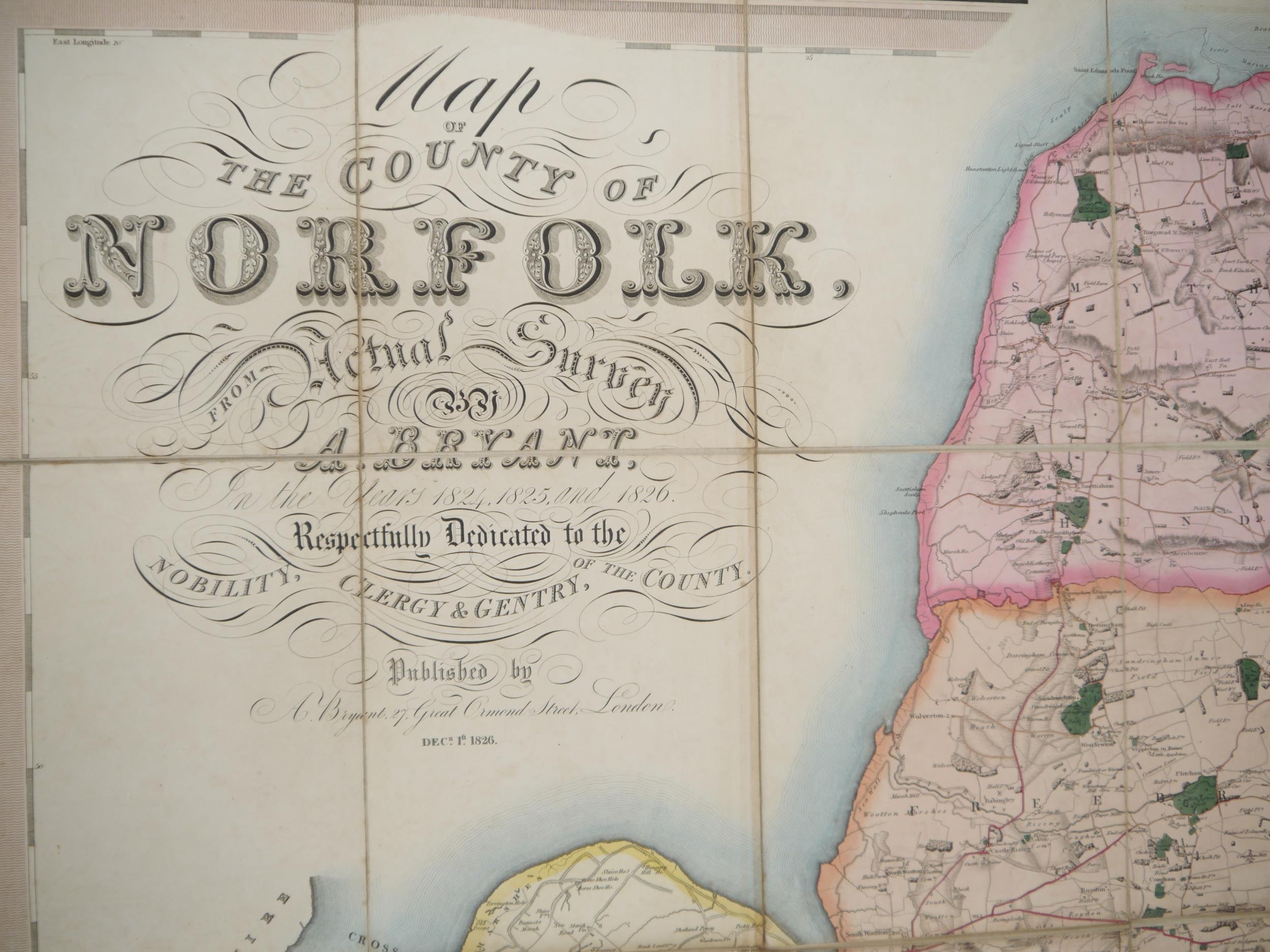
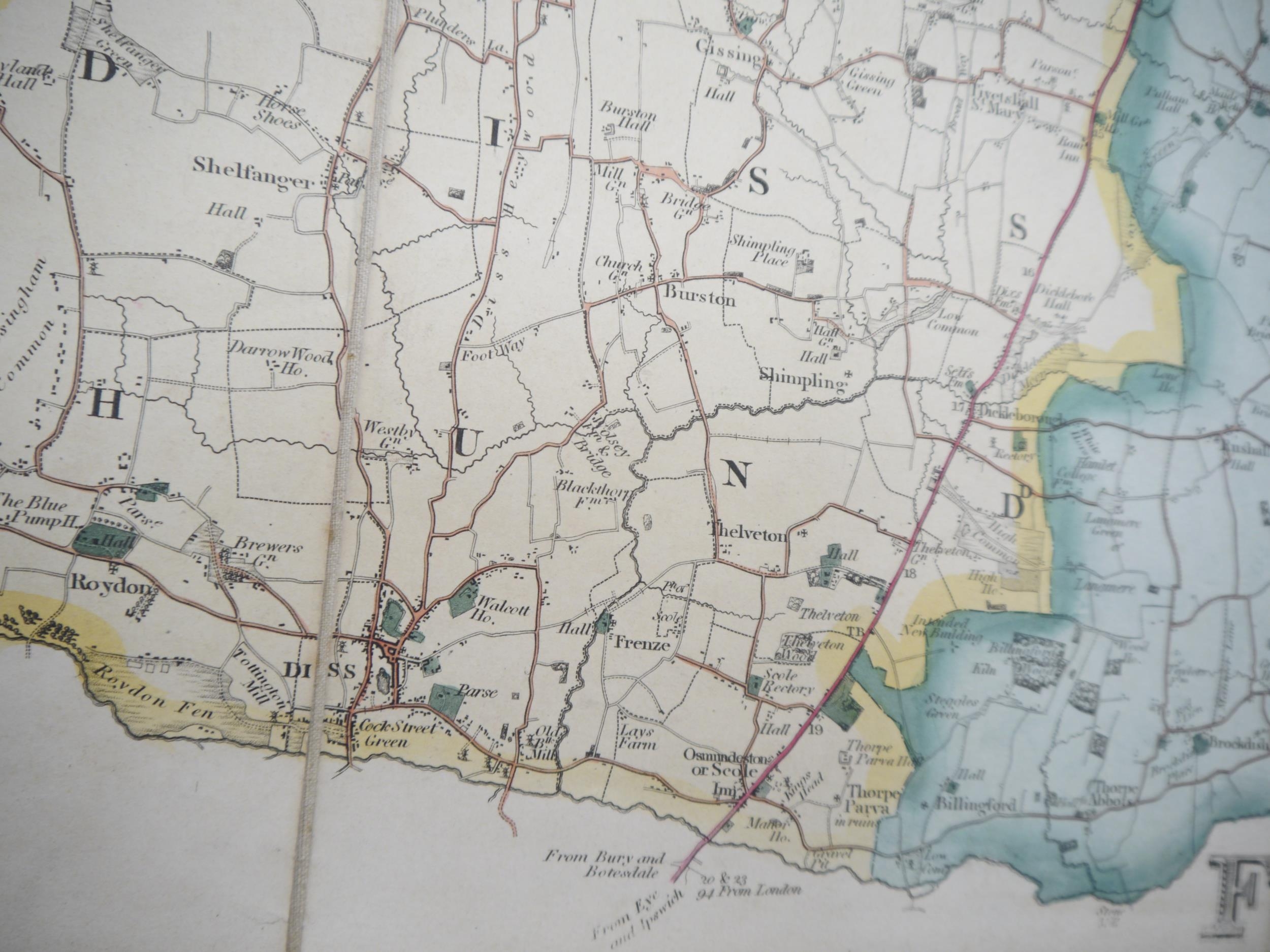
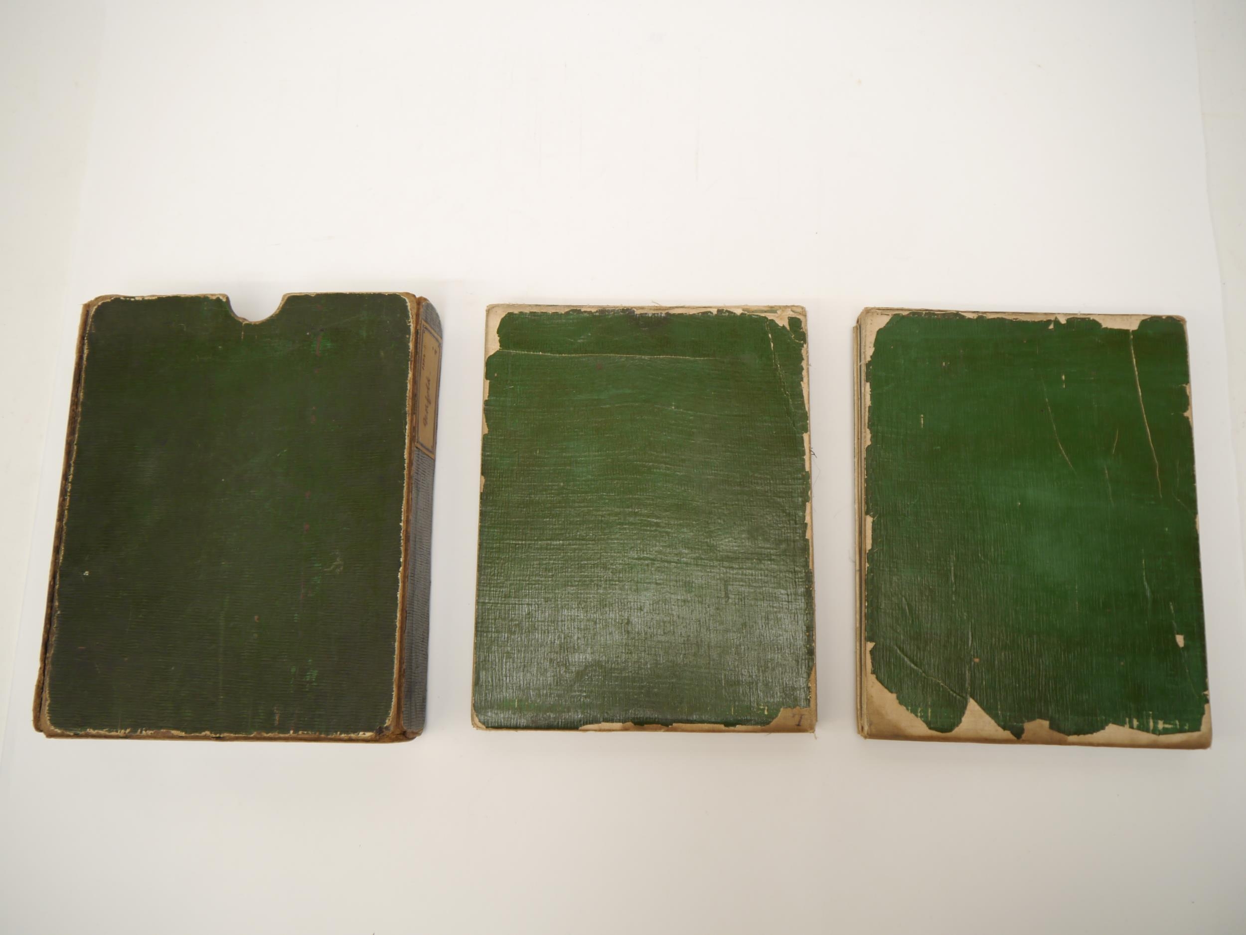
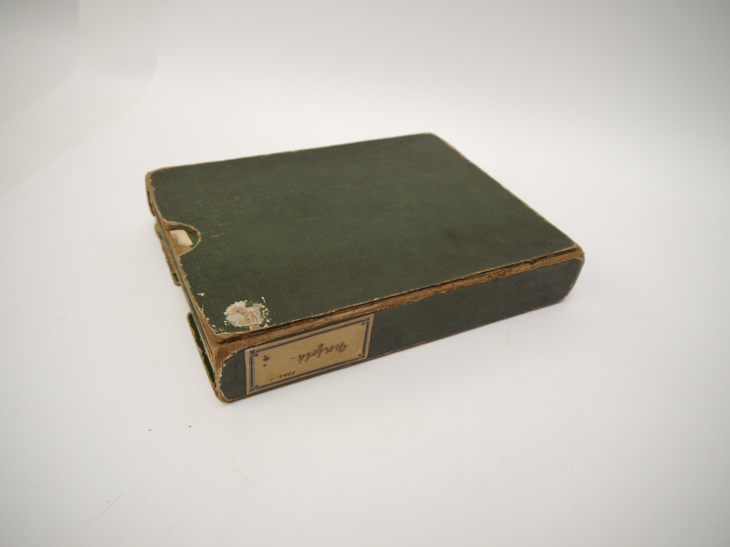
(Map.) Andrew Bryant: 'Map of the County of Norfolk from Actual Survey by A. Bryant, In the Years 1824, 25 & 26, Respectfully Dedicated to the Nobility, Clergy & Gentry of the County, Published by A. Bryant, 27 Great Ormond Street, London, Dec 1st, 1826', large scale engraved county map of Norfolk in two sections, full wash hand coloured, calligraphic cartouche, list of the ecclesiastical divisions, compass rose, table of explanation and fine engraved vignette of Norwich Cathedral in the lower right corner, each section dissected and backed onto linen, each sheet approx. 74 x 229cm, edged with green coloured linen, housed in contemporary green slipcase.
Bryant's team surveyed Norfolk between 1824 and 1826, and the map was published in six sheets on 1 December 1826. At 10 miles to 12 inches, this map is at a slightly larger scale than William Faden's map of 1797. A superbly detailed map in the Bryant tradition, includes towns, villages, churches, buildings, castles, parks, gentleman's seats, commons, heaths and hills, parishes and other boundaries, broads, fens, canals, wind and water mills, fox covers, roads, lanes, toll bars and rivers. The most important nineteenth century map of Norfolk.